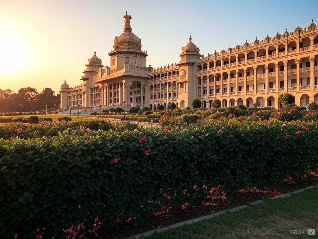
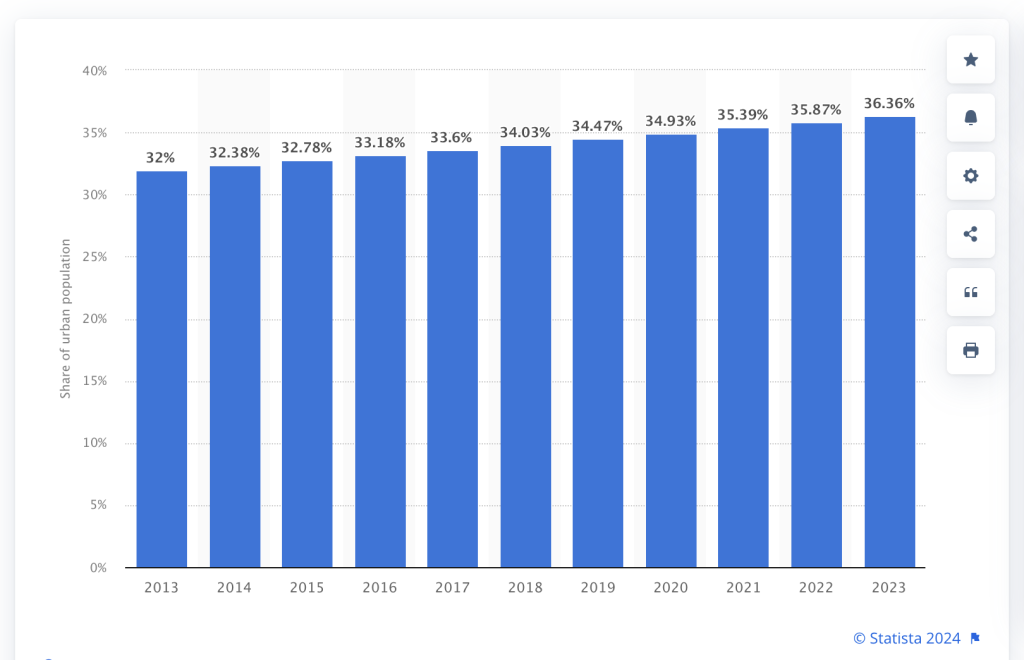
As India rapidly urbanizes, it is adding more people to its cities every year. In the last decade alone, its cities added almost 4% of its total population. Urban centers now account for almost 36.5%, up from 32% 10 years ago.
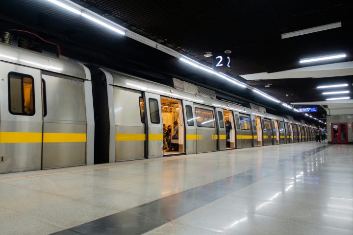
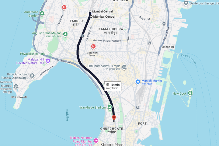
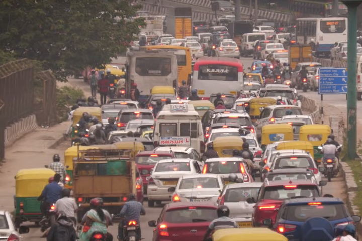
While this is a sign of progress, the infrastructure and the growth within the cities has been quite erratic, worsened by some really poor decisions by policy makers. Years of neglect and under investment in urban planning and public transport is causing discomfort and angst amongst the residents of its cities.
People feel trapped, surrounded by miles of concrete, glass and steel. Whatever remaining green spaces that are left in the city are either being bought by real estate developers or are being encroached upon by interested parties.
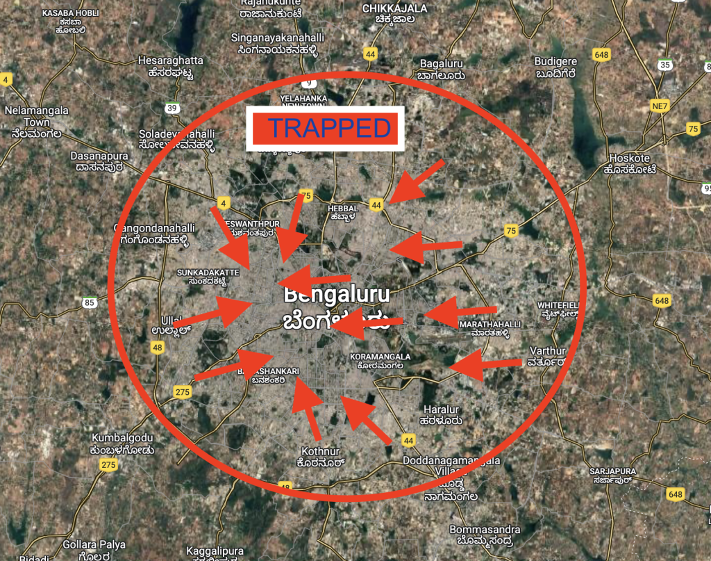
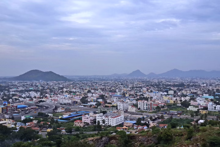
The shape of a city and how it grows can improve these things by a huge margin. Most Indian cities grow radially in the shape of a circle – take Bengaluru for example as seen above – this growth shape creates problems like traffic congestion and overcrowding. Ring roads which are built to mitigate this problem soon become part of the city thereby losing their original purpose.
Residents of all ages are cooped up inside their apartments with no opportunities for recreational activities or leisure around them.
Urban planners across nations have long identified this issue and over the years have applied various methodologies and strategies to handle the urban sprawl. Copenhagen’s “Finger Plan”, a Danish urban planning concept is one which is quite unique, and is worth exploring deeper.
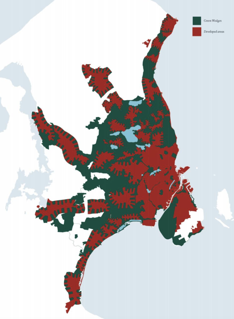
The Finger Plan is an urban planning strategy introduced in 1947 to guide the development of Copenhagen, Denmark. Shaped like an open hand, the plan extends urban growth along five “fingers” radiating from the city’s core, connected by robust public transit corridors.
Between these fingers lie green wedges, preserving natural landscapes and ensuring access to open spaces. The red areas are urban areas with houses and offices while green represents trees, forest, farm lands etc.
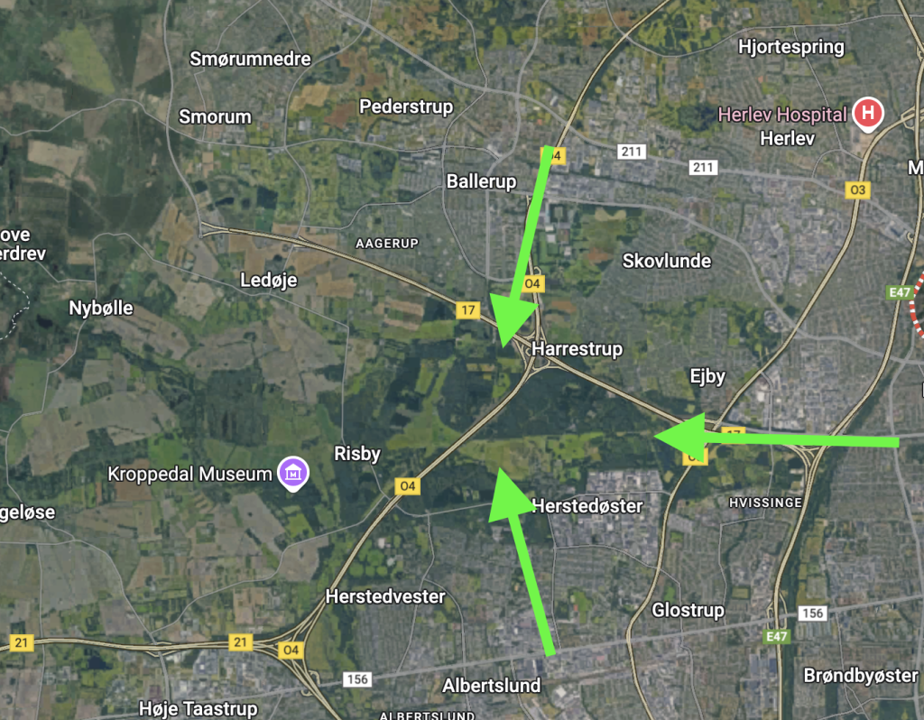
The most interesting part for me is how the ease of access to green spaces plays such a pivotal role in the whole design.
If you look at the green arrows below, people living on any of these areas can walk, cycle or take a bus ride to reach to the green belt in the middle.
This pattern repeats along the five fingers of the city as seen below in one of the other parts.
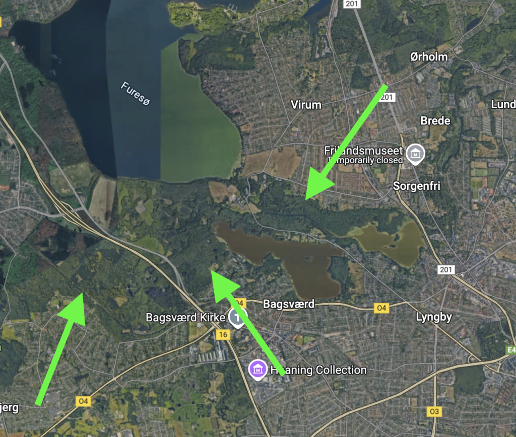
By doing so, Copenhagen has successfully avoided both urban sprawl and overly dense and chaotic urbanization.
Oxford academic considers Copenhagen’s finger plan urban design as one of the greatest policy successes ever. In the book titled “Great Policy Successes”, the authors write, “It was a bottom-up policy initiative that managed to garner support from local, regional, and national government officials as well as a broad range of interest organizations and civil society associations.”
Some critics and urban planners have suggested to incorporate few changes into the original plan to accommodate changing times and needs. This includes increasing density along the fingers.
That said, this emphasis on access to nature allows people in Copenhagen to do a range of outdoor activities. Cycling in the woods, hiking, picnics and a range of outdoor events allows residents a quick break from their hectic day to day life.
Indians living in large cities do not have this privilege. It takes at least couple of hours just to reach the edge of the city. The ease and the speed also depends on the income level of the person with poor having to suffer a lot more.
These green spaces improve air quality, reducing respiratory illnesses in polluted urban areas. Access to nature reduces stress, anxiety, and depression. Studies show that even a short time in green spaces improves mood and cognitive function. Urban greenery also reduces feelings of isolation, particularly in densely populated areas.
While it might be challenging to directly plugin this design into our Indian city conditions given our density and needs, it does provide opportunity to learn and borrow innovative ideas when we go about planning ours.